163
A. E. Nordenskiöld
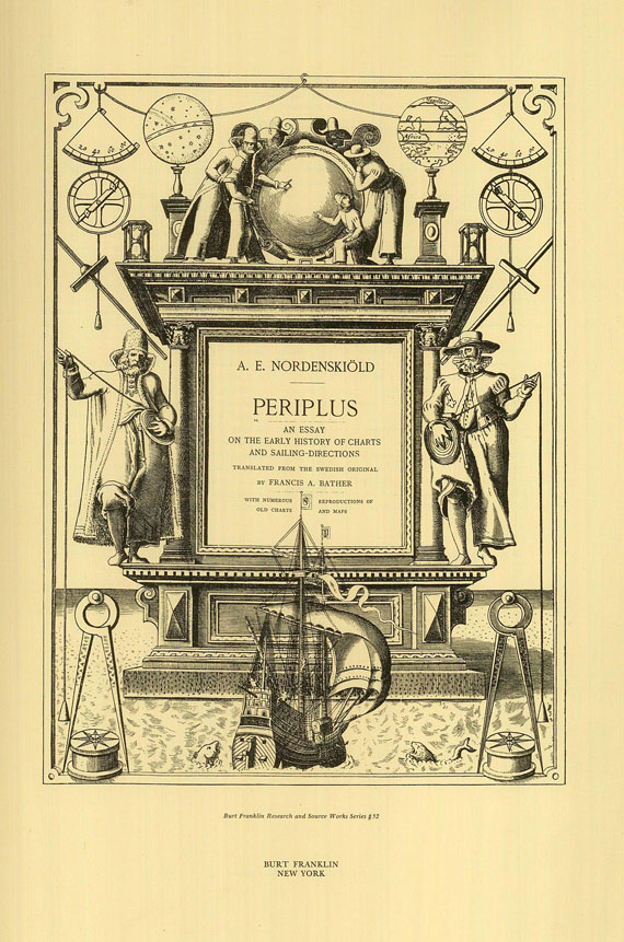
Periplus, Altlas. Ca. 1960.
Estimate:
€ 200 / $ 220 Sold:
€ 264 / $ 290 (incl. surcharge)
Nordenskiöld, A. E., Periplus. An essay on the early history of charts and sailing-directions. Translated by. Fr. A. Bather. Mit 60 doppelblattgr. Karten und 100 Textabbildungen. New York, B. Franklin [ca. 1960; Reprint der Ausgabe Stockholm 1897]. OLwd. Gr.-Folio.
Periplus ist ein wichtiges Referenzwerk sowohl über Portolankarten als auch über frühe Welt- und Regionalkarten. "An indispensable work for historians of cartography and hydrography." (Hodgkiss & Tatham, Keyguide to Information Sources in Cartography, Nr. 235). - Dabei: Ders., Facsimile-Atlas to the early history of cartography. Translated by J. A. Ekelöf and C. R. Markham. Mit 51 doppelblattgr. Karten und 84 Textabbildungen. New York, Kraus Reprint 1961 [Reprint der Ausgabe Stockholm 1889]. OLwd. Gr.-Folio. - Einbd. leicht angestaubt.
Periplus ist ein wichtiges Referenzwerk sowohl über Portolankarten als auch über frühe Welt- und Regionalkarten. "An indispensable work for historians of cartography and hydrography." (Hodgkiss & Tatham, Keyguide to Information Sources in Cartography, Nr. 235). - Dabei: Ders., Facsimile-Atlas to the early history of cartography. Translated by J. A. Ekelöf and C. R. Markham. Mit 51 doppelblattgr. Karten und 84 Textabbildungen. New York, Kraus Reprint 1961 [Reprint der Ausgabe Stockholm 1889]. OLwd. Gr.-Folio. - Einbd. leicht angestaubt.
163
A. E. Nordenskiöld
Periplus, Altlas. Ca. 1960.
Estimate:
€ 200 / $ 220 Sold:
€ 264 / $ 290 (incl. surcharge)


 Lot 163